
Mapfolio
Mapfolio is a WordPress plugin for interactive maps with your own locations: stores, offices, past work or the stops on a route. It runs on Leaflet and OpenStreetMap. Leaflet ships inside the plugin, so there's no CDN and no account to open with any external service.
Maps, locations and categories
You can create as many maps as you need, each with its own locations and its own shortcode. To place a location, search for the address, click on the map or drag the marker. There's no need to look up coordinates.
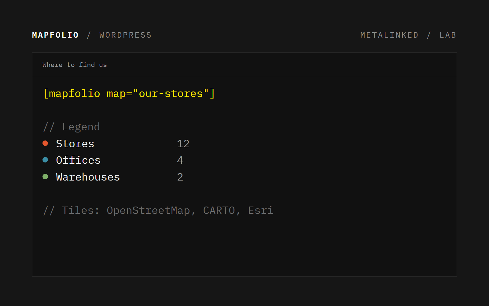
Categories are shared by all maps and set the marker color. Below the map, a legend lists each category with its number of locations, and visitors can click it to show or hide them.
Popups and clustering
Each location can have a title, a description, an image (SVG logos included) and a link with any text you like. When many points are close together, they're grouped in numbered circles until you zoom in. The color of those circles is set in the settings.
Shortcode and settings
The map is added with [mapfolio map="main-map"]. Each value can be set in the global settings, in each map's settings or in the shortcode itself, which takes priority over the others. That way you can change the height, style, zoom or legend of one map without touching the rest.
There are four map styles (OpenStreetMap, CARTO Positron, CARTO Voyager and Esri Gray Canvas) and a separate height for mobile and tablet.
Privacy
Mapfolio doesn't use cookies or tracking, and all its scripts and styles are served from your own site. Map images are loaded from the provider of the chosen style, and the address search in the admin uses OpenStreetMap's Nominatim.
Requirements
WordPress 5.5 or later and PHP 7.4 or later. Available in English, Spanish and Catalan.
Have an idea or want to collaborate?
Have an idea, want to team up on a project, or just want to talk tech? Drop us a line. We love meeting people who want to build things.
Let's talk